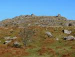
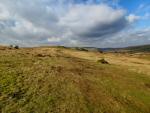
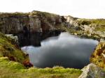
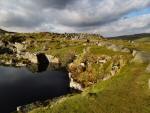
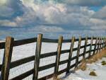
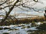
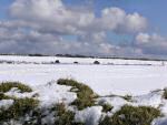
Covering an area ten miles by ten miles, Bodmin Moor is
an area of bleak but beautiful granite moorland. Designated as an Area
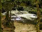
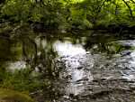
of Outstanding Natural Beauty it is the source of many rivers including
the River Fowey. Originally forest land, mankind started clearing the
land 10,000 years ago and by the Bronze Age most of the forest had been
cleared. Remnants of fields, farms, megalithic chambers, burial places,
stone rows, circles and standing stones all survive forming a wealth of
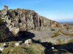
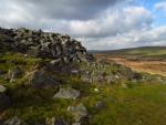
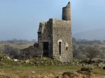
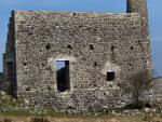
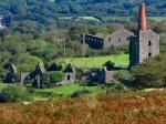
archaeological remains. Evidence of man's later activity can be seen in
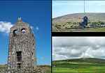
the eastern end of the Moor with the 18th Century ruins of tin and copper
mining. These ruins centre on the village of Minions and around the area
of Caradon Hill, the site of a present day television mast. About half-a-mile
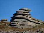
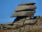
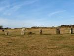
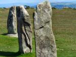
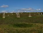
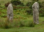
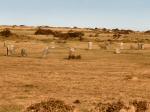
west of Minions lies The Hurlers, a group of three stone circles. Just
to the west of the circles are two standing stones known as the Pipers.
This is a close grouping of three Late Neolithic or Early Bronze Age regular
stone circles and, as such, is unique in England.
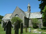
All of Bodmin Moor is privately owned by landowners known as the 'Lords
of the Manor' and, unlike Dartmoor, the moor is without many Public Rights
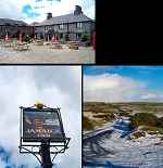
of Way. At the centre of Bodmin Moor lies the village of Bolventor in
which you will find "Jamaica Inn". Cornwall's highest peaks,
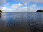
Brown Willy and Roughtor, lie to the north and Dozmary Pool to the south
of Bolventor.
|